In Auckland, many developments encounter residual soils derived from the Waitemata Group sandstones and East Coast Bays Formation mudstones. These materials exhibit rapid changes in strength within a few meters — a weathered rock mass can transition to firm clay in less than a meter. The engineering team routinely observes that standard penetration test blow counts in these profiles vary from refusal in fresh rock to less than 10 blows in the upper highly weathered zone. This variability demands a systematic approach to residual soil characterization, combining field logging with laboratory index testing. Before committing to a foundation scheme, a detailed profile helps decide whether shallow footings are feasible or if deeper elements like cimentaciones-superficiales need reinforcement.
Residual soils in Auckland can lose half their strength within a single meter of depth — ignoring that transition risks differential settlement.
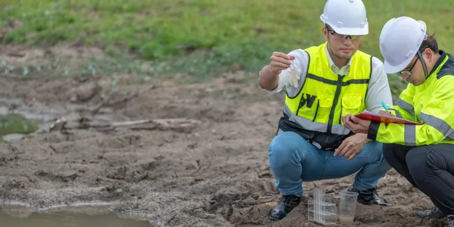
Method and coverage
A comparison between sites in Remuera and Hobsonville illustrates the spectrum of residual soil behavior in Auckland. In Remuera, the residual clay from volcanic ash overlies weathered sandstone, giving high plasticity indices between 35 and 50, while in Hobsonville the profile is dominated by silty clay from weathered mudstone with lower plasticity. Key characteristics include:
Grading that shifts from well-graded sand to clayey silt within one borehole, requiring careful sampling at 0.5 m intervals.
Moisture content often exceeding the liquid limit in the upper 2 m, indicating potential for collapse upon wetting.
Drained friction angles between 22 and 28 degrees for the clayey fractions, confirmed by consolidated-drained triaxial tests.
These profiles also benefit from clasificacion-suelos using the Unified Soil Classification System to group similar behavior across the site.
Technical reference image — Auckland
Regional considerations
The rapid urban expansion of Auckland over the past two decades has pushed development into hillside subdivisions originally covered by mature native forest. Many of these slopes consist of residual soils with relic joints from the parent rock, creating planes of weakness that are not apparent during routine site inspections. When cut for terraces or road access, these relict discontinuities can open and trigger shallow translational slides after heavy rainfall. A proper characterization must identify relict joint orientations and infilling materials; missing this step has led to retrofitting costs exceeding the original earthworks budget on several local projects.
Class II (slightly weathered) to V (completely weathered)
Liquid limit range
40 – 65 %
Plasticity index range
18 – 48 %
SPT N-value (upper 3 m)
4 – 18 blows/300mm
Drained friction angle (phi')
22 – 30 deg
Undrained shear strength (cu)
30 – 120 kPa
Related services
01
Weathering Profile Classification
Detailed logging of each borehole or test pit to assign weathering grades per ISRM and NZGS guidelines, including identification of relict structures and corestone content.
02
Mineralogical & Index Testing Suite
Laboratory determination of clay mineralogy via X-ray diffraction, Atterberg limits, and free-swell tests to predict shrink-swell behavior and dispersion potential.
Standards that apply
NZGS 2005: Field Description of Soil and Rock, NZS 4402: Description and Identification of Soils, NZS 4402: Particle-Size Analysis of Soils, NZS 4402:1986: Methods of Testing Soils for Civil Engineering Purposes
Process video
FAQ
What is the difference between residual and transported soils in Auckland?
Residual soils form in place from the weathering of underlying bedrock, preserving some parent-rock structure. Transported soils — alluvium or colluvium — have been moved by water or gravity, so their fabric is more homogeneous. The distinction matters because residual soils can have hidden relic joints that act as slip surfaces, while transported soils tend to have more uniform strength profiles.
How deep should boreholes be drilled for residual soil characterization in Auckland?
For residential structures, boreholes should extend at least 3 m into the unweathered parent material. In sloping terrain where colluvial cover exists, depths of 6 to 8 m are common to capture the complete weathering profile. The target is to pass through the completely weathered zone and enter slightly weathered rock, which provides the reference for foundation design.
Which clay minerals are most problematic in Auckland residual soils?
Smectite and mixed-layer illite-smectite are the most troublesome because they give high shrink-swell potential. These minerals appear in profiles derived from mafic volcanic rocks and some mudstone units. Index tests like the free-swell ratio and methylene blue value help flag expansive behavior before construction.
How much does residual soil characterization cost for a typical hillside site in Auckland?
For a standard residential lot with two boreholes to 6 m depth, the service ranges between NZ$1,310 and NZ$3,200, depending on the number of laboratory tests required. A larger subdivision with four to six boreholes and a full mineralogy suite may cost NZ$3,800 to NZ$5,120. These figures exclude drilling access costs on steep terrain.
Can residual soil characterization predict slope stability problems before earthworks begin?
Yes, it is one of the most effective tools. By identifying relic joints and clay seams in the weathered profile, the geotechnical model can highlight potential failure surfaces. When combined with shear strength testing and groundwater monitoring, the characterization provides the input data for limit equilibrium analyses that guide cut slopes and retaining wall design.
Location and service area
We serve projects across Auckland and surrounding areas.